Tree Information
Common Name: sweet birch
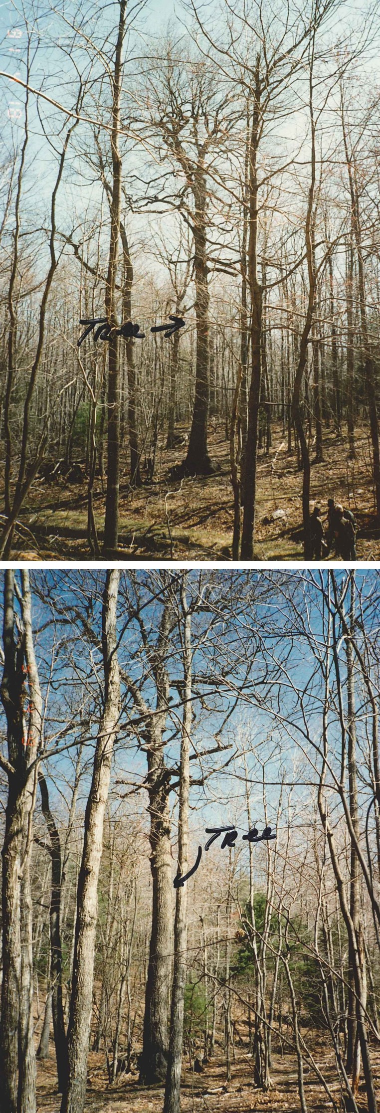
Scientific Name: Betula lenta
Native/Naturalized: Native to Virginia
Database ID: 673
Status: alive
National Champion: no
Virginia Champion: yes
Circumference: 112 in.
Height: 83 ft.
Crown: 45 ft.
Points: 206
Date Last Measured: 2012
Last Measured by: Gerardo "JB" Paez
Date First Measured: 1991
Comments: Tree was healthy with a good crown in 1991, 209 total points, measured by Tom Lail and Ed Smith. Tree height and crown were smaller in the 2012 re-measurement.
Location of Tree
Tree is located in: Highland
Land Owner: U.S. Forest Service
GPS Coordinates: 38.249683, -79.427267
Directions: George Washington National Forest. From Churchville, take state route 250 west for 17 miles, turn left on FDR 396 for 3.7 mi. to 2nd gate. Continue on 396 thru gate, 2.2 mi. Located 50 ft. from road on left side. Near the Left Prong of Benson Run. Map on file. Four-wheel-drive required. GPS coordinates reported by forester (38.249683, -79.427267) do not match coordinates of written description above (38.253785,-79.418707).
Contact Information
Contact Name: Gerardo "JB" Paez
Contact Email: gpaez@fs.fed.us
Contact Phone: 540-432-8231
Contact Info: gerardo.paez@usda.gov Tom Lail and Ed Smith Deerfield Ranger District 2314 Beverley St. Staunton, VA 24401
Nominators
Original Nominator(s): Tom Lail and Ed Smith
Additional Information
Our Partners