Tree Information
Common Name: sweet birch
Scientific Name: Betula lenta
Native/Naturalized: Native to Virginia
Database ID: 673
Status: legacy
National Champion: no
Virginia Champion: no
Trunk Girth: 112 in.
Tree Height: 83 ft.
Crown Spread: 45 ft.
Points: 206
Date Last Measured: 2012
Last Measured by: Gerardo Paez
Date First Measured: 1991
Comments:
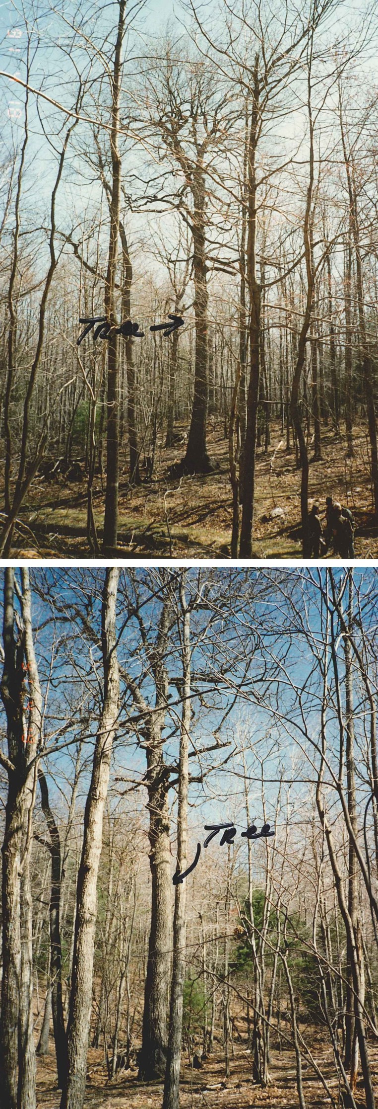
2025 comments: An expedition by Virginia Tech and USFS personnel could not locate the tree. However, the terrain was rugged and GPS phone apps were not working well. Upon returning to civilization, it appears that the search was concentrating in the wrong area, lower down in the valley along Benson's Run, instead of a cove higher up the mountain near the 1991 and 2012 GPS coordinates.
Comments 2012 and prior: Tree was healthy with a good crown in 1991, 209 total points, measured by Tom Lail and Ed Smith. Tree height and crown were smaller in the 2012 re-measurement.
Location of Tree
Tree is located in: Highland
Land Owner: U.S. Forest Service
GPS Coordinates: 38.249683, -79.427267
Directions: George Washington National Forest. Four-wheel-drive required. From Churchville, take state route 250 west for 17 miles, turn left on FDR 396 for 3.7 mi. to 2nd gate. Continue on 396 through gate for 2.2 mi. Tree is located 50 ft. from road on left side. Near the Left Prong of Benson Run. Paper topo map from 1991 on file. Online version of USFS map depicts FDR 396 terminating before the 2.2 mile mark. However, the map symbol for the 2nd gate may not be accurate. Ink pin mark on 1991 paper topo map from 1991 suggests the tree is around these GPS coordinates (38.256416, -79.422509). This does not match coordinates reported by Paez in 2012 (38.249683, -79.427267), which put the tree down the ridge another 620 yards. Another interpretation of the 1991 written directions puts the tree at these coordinates (38.246750, -79.422376) assuming that FDR 396 forks and follows the Left Prong of Benson Run as shown on Google Earth rather than traveling out the ridge of Gwin Mountain.
Contact Information
Contact Name: Gerardo Paez
Contact Email: gerardo.paez@usda.gov
Contact Phone: 540-432-8231
Contact Info: Tom Lail and Ed Smith Deerfield Ranger District 2314 Beverley St. Staunton, VA 24401 Kevin H. Kyle District Ranger p: 540-839-2521 c: 540-333-0556 kevin.kyle@usda.gov
Nominators
Original Nominator(s): Tom Lail and Ed Smith
Additional Information
Our Partners